Farragon Hill Loop
Route: Farragon Hill Loop via Rob Roy Way, Loch Tummel and Loch FaskallyDistance: 22.5m / 36km
Profile: View
Grade: Hard

Fitness: High

Time: 5.5 - 7 Hours
OS MAP: 43, 52 & 53
Route Data: GPX KML
Riders: Dave Banks, Brian Gray
Date: 13/10/2013
Summary
A mixture of forest road, single track, boggy sections, bike and hike and tarmac road make this a hard, but rewarding mountain bike trek through interesting scenery.
High levels of fitness are required only due to the steep climbs involved, as are good brakes for the steep descent down to Loch Tummel.
Details
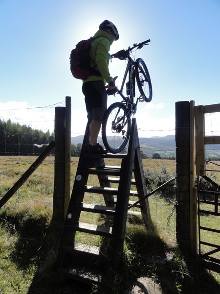
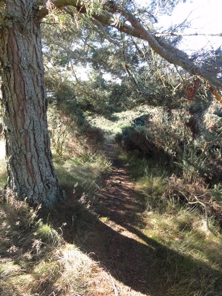
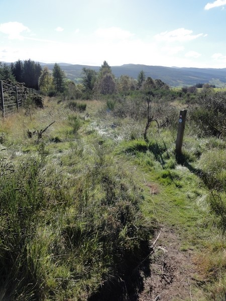
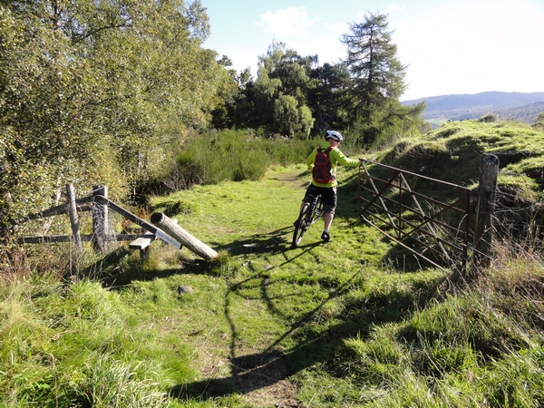
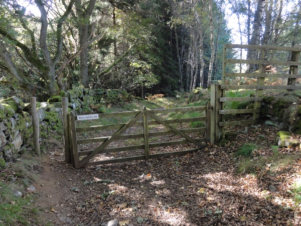
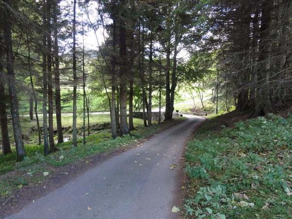
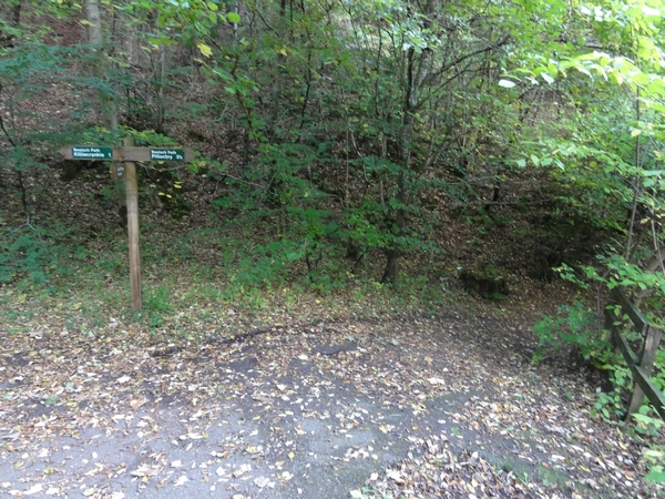
Starting at Pitlochry Theatre car park, turn left and after 30 yards turn right and head up the steep access road to Strathtay which takes you up to the A9. The A9 is single carriageway at this point, but care must be taken as the traffic is fast flowing. Head straight across and take the access road to Middleton of Fonab farm. Head uphill through the farm towards the forest. The road goes from tarmac to dirt track after the farm and the gradients get steeper as you head into the trees. You will come to a sign post that takes you onto a single track to the left, but this path is too steep to cycle and the awkward gate crossing means you are better sticking to the forest road as eventually the track and road meet up again. At least you will be able to cycle up the road. After a lot of pushing and a little cycling, you join onto the forest road again. About 30 yards up from here, the singletrack heads off to the right. We decided to stick to the forest road, but the singletrack runs next to the road part of the way and it looked perfectly cycleable. The singletrack joins the forest road again at a junction, where the route turns left. After a short distance a stone circle can be seen on the on the right before the road starts its descent to Strathtay. At one point the road swings to the left, but straight ahead, a grass track leading to a forest gate takes you out into open countryside and downhill to Strathtay.
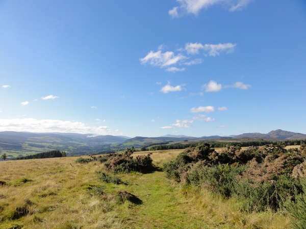
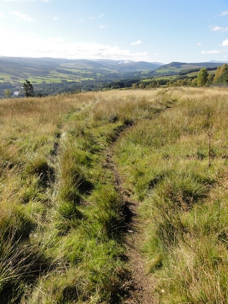
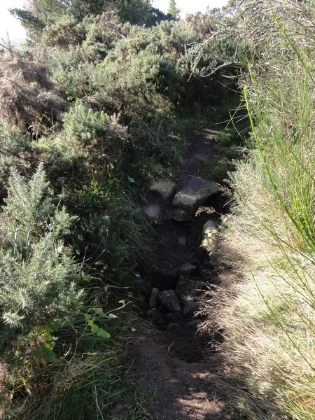
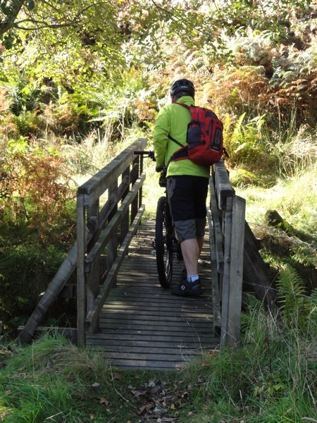
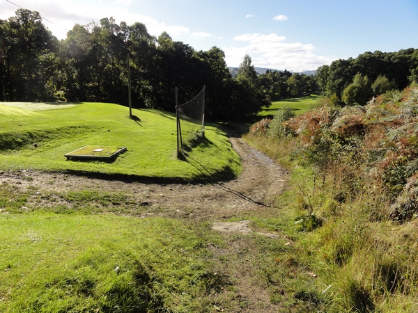
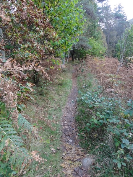
This track is grassy in places, stony and muddy in others and goes through trees and spikey gorse bushes, but it is easy going with a couple of exceptions. One is a hidden ditch and the other is a rocky outcrop that is best walked down in the wet as the rocks could be slippery. The track continues downhill, through several gates and a small bridge crossing and comes out at Strathtay golf course. Passing the golf course, takes you down into Strathtay, where you turn right onto the main road and after 60 yards turn right again and follow Cycle Route 7. Continue along this road for a few miles until you come to a bridge at Edradynate where the route turns to the right. Head up the driveway, keeping an eye out for the numerous red squirrels running about, until you reach a T junction. Turn to the right, following the directions for Lurgan Farm. Follow the road round to the right at the farm yard and continue uphill until you meet another road junction. Follow the road to the left until you come to a bridge and yet another junction, where you again follow the road to the left. At the next junction, the route turns right and heads uphill again.
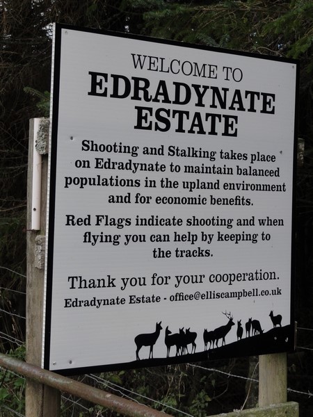
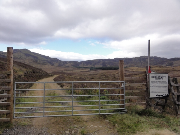
At the top of the hill, the road to Brae of Cluny heads to the left and heads through a farm yard. At the next junction, Aodin is to the left, Brae of Cluny is to the right, up the landrover track. At the cattle grid, check for the red flag to see if any shooting is taking place. Follow the track to the right as it heads uphill, before briefly heading downhill, then it starts its long ascent to the summit.
After the ford, the track turns left at a T junction before heading out into open moorland through a gate with another red flag when shooting is taking place. After a short distance, you get your first glimpse of the ascent ahead of you, and it isn't a welcome sight. The track gradually climbs, with occasional steeper sections as it heads towards the really steep ascent.
Deer could be heard bellowing in the distance, but the only sign of deer we saw were plywood ones used for target practice. Another gate with a red flag is reached just before the track starts its really steep ascent.
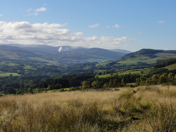
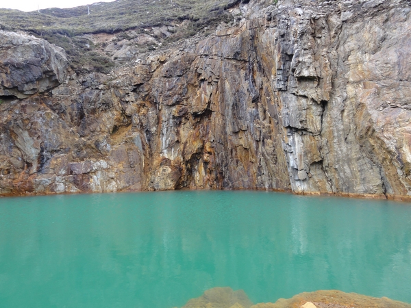
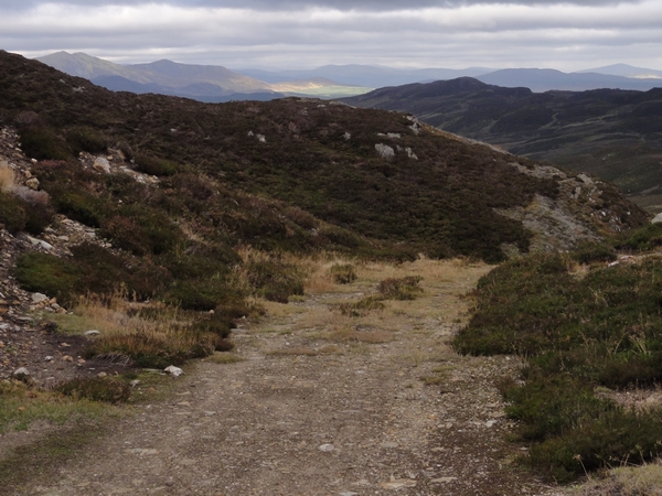
It isn't long before you are off your bike pushing it uphill, the only consolation is the nice views over Strathtay. The track is that steep and loose in places, even walking become difficult as you struggle for traction. Where the gradient eases off, you get the brief opportunity to get back on the bike to make up for lost time. The route to the summit seems never ending and gets steeper as you reach the summit. When you get there, the effort is worthwhile, not for the views, better ones were to be had further downhill, but for the Barytes mine and the brilliant green water, due to the chemicals in it.
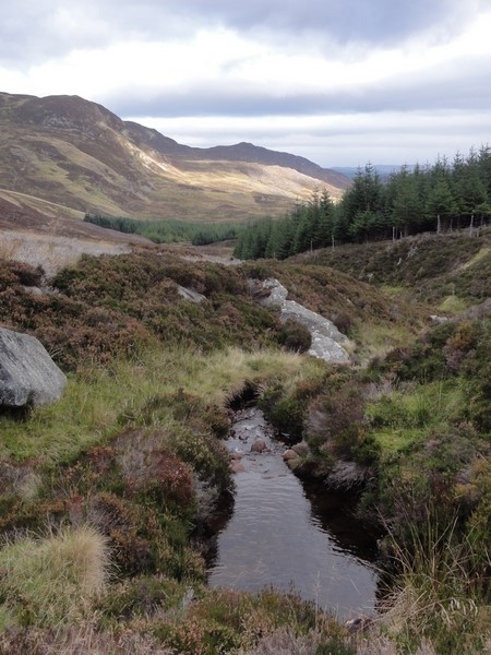
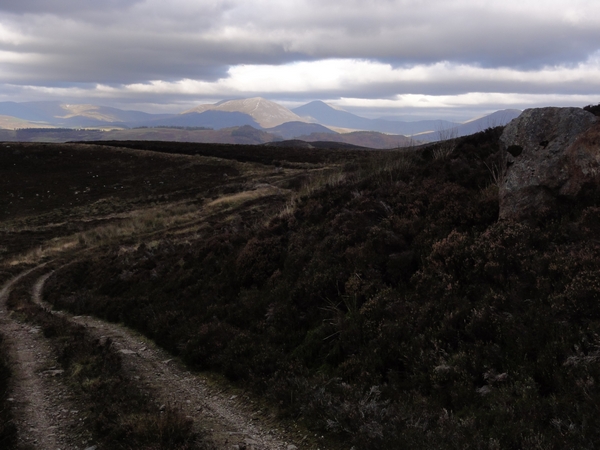
From here the track descends through open countryside, steeply at first then it levels off a bit as it contours the hill before descending steeply again as it heads down to Loch Tummel. The track surface is quite varied, from a firm stony surface, to loose stones due to water erosion that requires you to pick your line carefully, to dirt sections which are soft in places, to some muddy patches, to slabs of rock. The gradient varies, but is quite steep along most of its descent and your brakes will be working overtime. You soon get your first glimpse of Loch Tummel, before you reach a shallow water crossing. The track continues downhill and heads into the trees and through another water crossing, before you reach the grassland next to the road at Loch Tummel. The brakes on the bike were that hot after 30 minutes hard work, you could actually smell them.
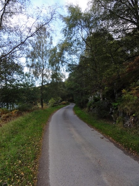
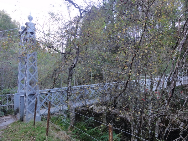
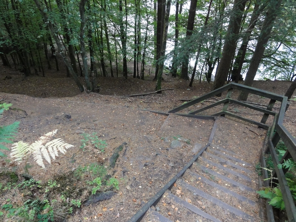
Turn right onto the C Class road and head past Clunie Dam where you climb a bit before the long fast downhill and the turn of for Coronation Bridge. The bridge can be seen through the trees down to the left as you approach. You will see two blank signs on the left to signify where the path to Coronation Bridge is, the actual writing is on the other side, so the turn off could be easily missed. A footpath with some steps takes you down to Coronation Bridge and across the Tummel.
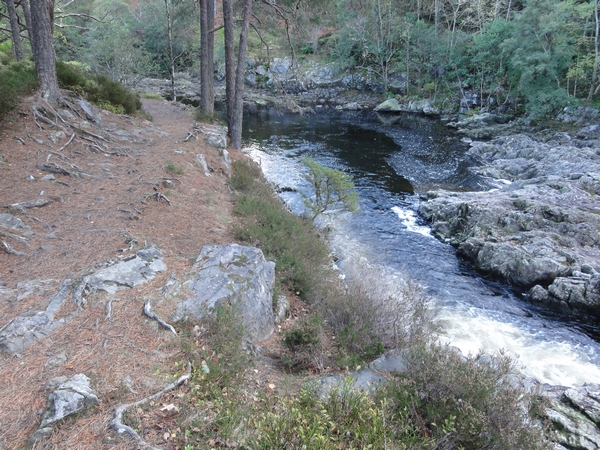
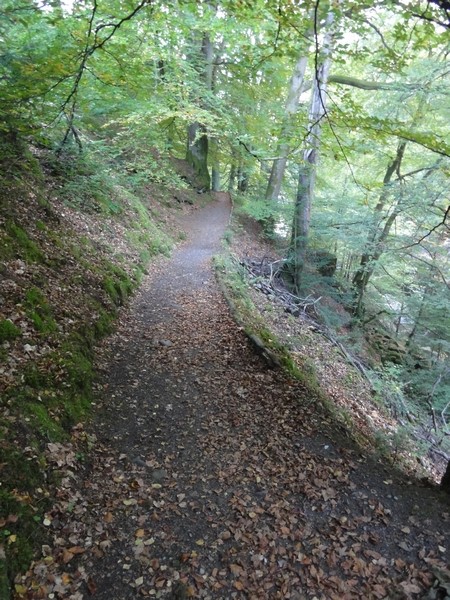
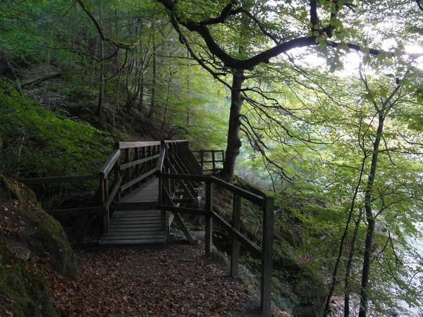
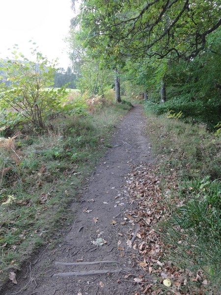
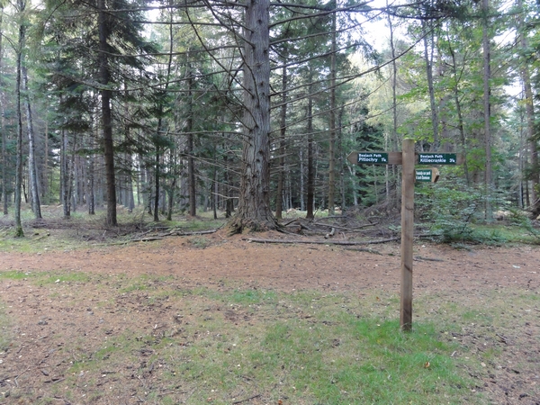
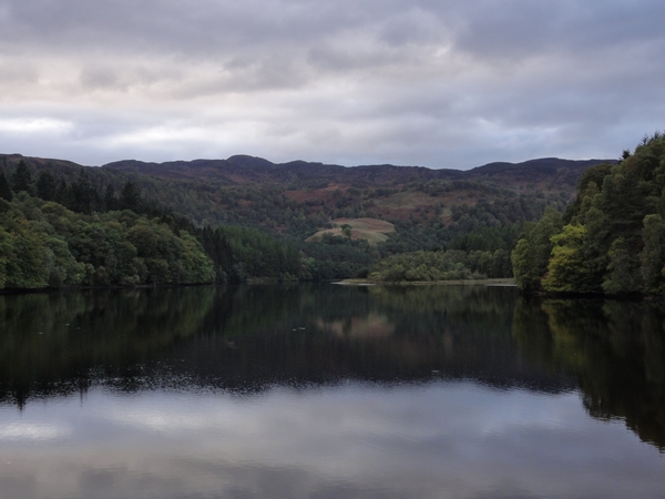
After crossing the bridge, the track heads uphill to the right, before descending to run alongside the River Tummel. The track changes from a grass track to a dirt track with numerous tree roots and occasional rocky outcrops making the route interesting. Anybody with reasonable mountain biking skills will manage it OK. When the track passes the Linn of Tummel, it turns to the left and heads towards the River Garry. The only obstacle is a set of steeps that require you to get off your bike. Follow the track along the side of the river, and under the road bridge, where you may be lucky to see folk bungee jumping, where it joins onto the Bealach path and heads downhill to another footbridge. After crossing the river via the footbridge, the route turns right to head back to Pitlochry. This track is good, just a few sets of steps and a narrow footbridge requiring you to get off. There are tree roots and occasional rocky outcrops, but these are easily managed. After the second set of steps, follow the Bealach Path to the right as it heads out of the trees. Clunie Hydro Electric Power Station can be seen through the trees, as you leave the River Garry and join Loch Faskally.
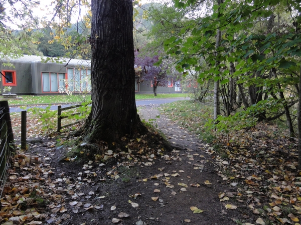
The singletrack brings you out at the Fisheries Research buildings were you turn right and join a tarmac road that heads up towards the main road. Just before you reach the main road, turn right onto the access road for Faskally car park. Turn off the access road to the left and past the wooden barrier and follow the track through the trees where it joins up with other paths and continues to Pitlochry. A final set of steps requires you to get off your bike as the path drops down to the shores of Loch Faskally. Follow the path over the footbridge, and up the steep incline under the road bridge for the A9 and then downhill to the boating station on the shores of Loch Faskally.
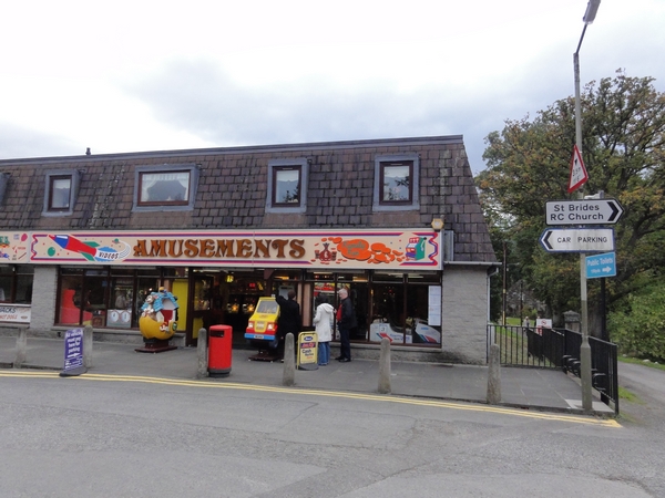
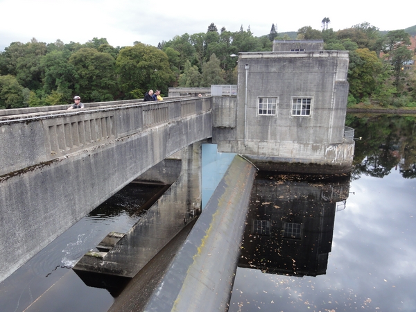
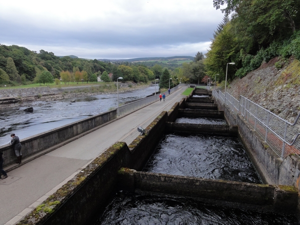
Turn right onto the tarmac assess road until you reach the main road through Pitlochry. Turn right here and head into Pitlochry until you see the signposts for the Dam and Fish Ladder where you turn to the right and then right again as the road heads under the railway line, where you then turn left at the amusements. Follow the road on the left which heads uphill slightly before dropping down to Pitlochry Dam. Cross the dam and follow the road between the river and the fish ladder towards the theatre. After a short distance, the theatre appears on the right where you can head up the footpath next to the picnic tables and into the car park.
Photo Gallery
