Capel Mounth Loop

Capel Mounth Loop MTB

Route: Capel Mounth Loop
Distance: 15.9m / 25.6km
Profile: View
Grade: Hard
Fitness: High
Time: 5-6 Hours
OS MAP: 44
Route Data: GPX KML
Riders: Dave Banks, Brian Gray
Date: 24/05/2015


Summary

A mixture of some tarmac road, landrover track, single track, water crossings and brutal ascents/descents make this in places a hard mountain bike trek through remote and interesting scenery.

High levels of fitness are required, due to the steep climbs involved.


Details

This route can also be started at Loch Muick, but as we have been there before, we started in Glen Doll.

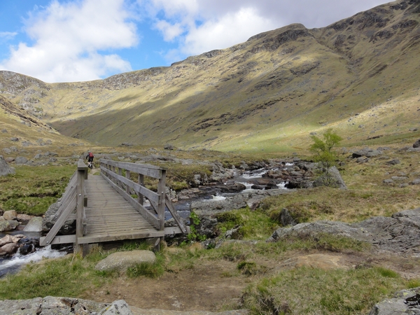
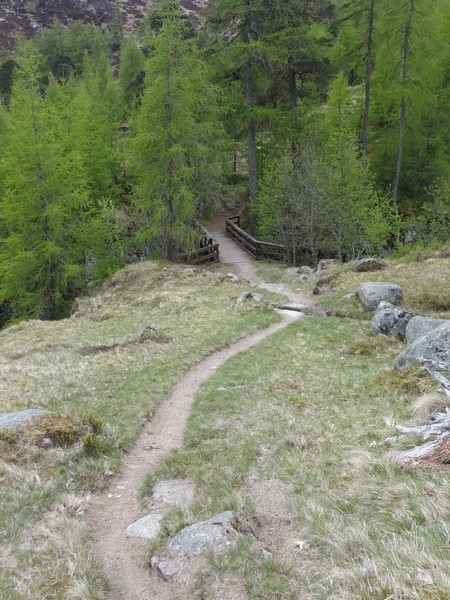
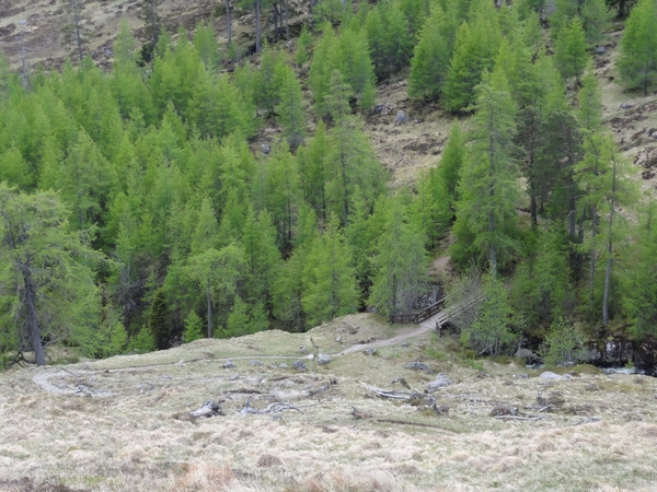
Starting at Braedownie, where there is a small car parking area next to a rocky outcrop, turn right and continue on the tarmac road for 0.5m/1km towards the Forestry Commission car park at the Corrie Fee National Nature Reserve. Where the road turns left over the bridge, continue straight ahead through the gate and onto the landrover track that follows the side of the River South Esk. As landrover track enters some trees, you see a sign and track on the right, this is the return route from Capel Mounth. After you pass Acharn, the landrover track swings left and across the river, but stick to the single track heading towards the trees. There are some boardwalk sections over the boggier ground, but there are a couple of small sections where you will have to get off your bike and push as you approach the footbridge.

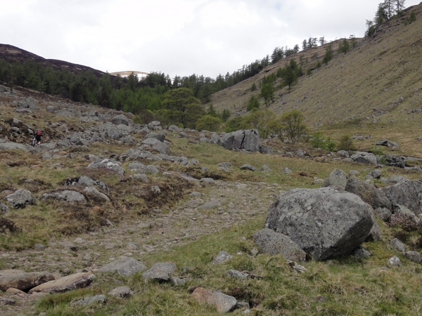
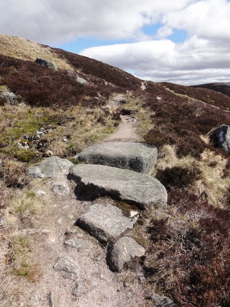
Once you cross the footbridge, the single track joins the landrover track as it starts its climb up the glen towards Bachnagairn. The track becomes rougher as you climb, with some small water crossings which are easily managed, before it becomes too rough and you have to get off and push. Once you cross the footbridge and enter the trees, you will have to carry your bike over some of the rougher sections. There is a short rideable section down to the bridge as you leave the trees, but that is short lived as the real climb now starts. for the next mile (1.6km), there is a very steep climb up the side of the hill. Progress is slow, but eventually the gradient eases off and you can get back on your bike, but some wide drainage channels will force you to get off again. After a short while, you will reach a fenced off area, turn right at the junction and follow the fenceline down to a sheep hut/pen and with Sanny's seat where you can have a well deserved break.

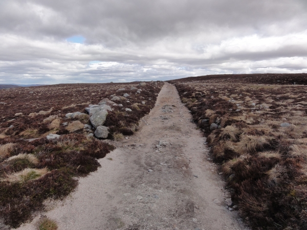
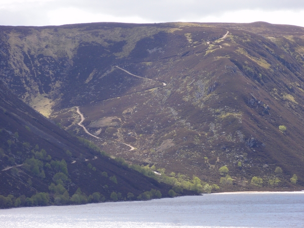
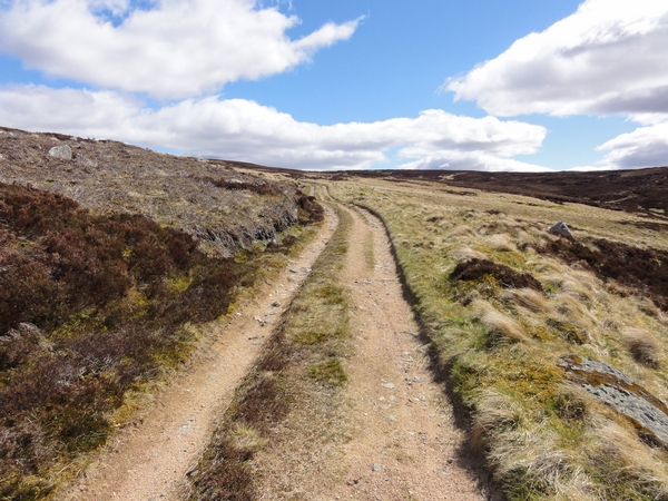
Follow the landrover track, which is soft grit and not easy going in places, along the hill line, before it starts to get looser and rockier as it starts its descent to Loch Muick. The descent is gradual to start off with, but the final descent down to the loch is very steep, and hairpin bends means you need to keep your speed under control, which isn't easy as your tyres struggle for grip on the loose surface, rocky surface.

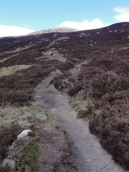
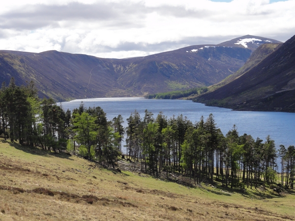
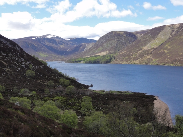
As you approach Lock Muick, cross the wooden bridge and continue to follow the landrover track as it undulates at first along the side of the loch. The track is generally good, but there are some sections where water erosion makes it a bit rocky, and there are a couple of very minor water crossings but progress is good and fast. As you reach the end of the loch, you will see the reverse side of a sign point right, and a track that climbs up the hill towards Capel Mounth. The track is rideable at first, but steepens further up, but tired legs meant some pushing was involved, as the rate of climb wasn't much faster than walking pace. Walking also allows you to admire the views across Loch Muick towards Lochnagar and the steepness of the track you just descended. As you approach what you think is the summit, there is a cairn, followed by another cairn slightly further uphill a 100 yards later. Neither of these are the summit. There are another 2 false summits ahead. There are also a couple of landrover tracks that turn off on the left, ignore these and stick to the main track.

You can see the rocky crags of Glen Doll, and you think you are almost there, but the landrover track is still climbing. The landrover track eventually runs out as it reaches the summit, and turns into a grassy single track. At this point, drop the saddle on your bike and get ready for a Black graded descent into Glen Doll. The track quickly steepens and twists and turns as it descends. It becomes looser and rockier in places, soft in others and in other places has multiple lines to choose from as people have tried to avoid steep or rocky sections. Less experienced riders will have to get off at the steeper or rockier sections, as it is better being safe than sorry. You will go through a gap in a fence and into a section where the trees have been felled. This section is harder than the grassier section on the open hillside. At the bottom of the steep descent, there is a water crossing that requires you to get off your bike. The final section through the trees is much easier as approach the landrover track you cycled out on. Instead of turning left to retrace your tracks back to the car, turn right, and after 300 yards just before you exit the trees, turn left at the yellow marker and head down towards the bridge over the river.
Crossing the river takes you onto a singletrack back to the car park at Corrie Fee. The track is good, there is just one point where it has a couple of drop offs and may require you to get off. When the track leaves the river, it takes you out into the open grassy area next to the car park. Head towards the car park and turn left onto the tarmac road and across the river, following the road out of Glen Doll and towards the rocky outcrop and back to the car.


Photo Gallery

Car parking area at Braedownie

Head straight on through gate

Landrover track next to river

Track follows river

Car parking area at Braedownie


Head straight on through gate


Landrover track next to river


Track follows river

Return path from Capel Mounth

Approaching Acharn

Single track

One of several boardwalk sections

Return path from Capel Mounth


Approaching Acharn


Single track


One of several boardwalk sections

Heading towards footbridge

Track rough in places

Approaching footbridge

Footbridge

Heading towards footbridge


Track rough in places


Approaching footbridge


Footbridge

Joining landrover track again

Track rough in places

Heading up the glen

Water erosion

Joining landrover track again


Track rough in places


Heading up the glen


Water erosion

Looking back down the glen

The route ahead

Small water crossing

Only significant crossing in glen

Looking back down the glen


The route ahead


Small water crossing


Only significant crossing in glen

Another water crossing

Looking back

The pushing starts

The route ahead

Another water crossing


Looking back


The pushing starts


The route ahead

More pushing here

Looking back

Looking back

Plunge pool in river

More pushing here


Looking back


Looking back


Plunge pool in river

Small waterfall

Approaching the bridge at Bachnagairn

Looking back

Bridge at Bachnagairn

Small waterfall


Approaching the bridge at Bachnagairn


Looking back


Bridge at Bachnagairn

Waterfall at bridge

Deep gorge

Looking back down the glen

Track climbs through trees

Waterfall at bridge


Deep gorge


Looking back down the glen


Track climbs through trees

Track through the trees

Track through the trees

Looking back at track through the trees

Track next to gorge

Track through the trees


Track through the trees


Looking back at track through the trees


Track next to gorge

Track continues through the trees

Waterfall next to track

Marin and Lapierre

Need to carry the bike here

Track continues through the trees


Waterfall next to track


Marin and Lapierre


Need to carry the bike here

Track not rideable

Lapierre gets a lift

Footbridge

View downstream from bridge

Track not rideable


Lapierre gets a lift


Footbridge


View downstream from bridge

View upstream from bridge

The steep ascent starts here

More pushing

View down the glen

View upstream from bridge


The steep ascent starts here


More pushing


View down the glen

View back to footbridge

Path really steep here

Eases off slightly

View down the glen

View back to footbridge


Path really steep here


Eases off slightly


View down the glen

More bike carrying

More bike carrying

Another view down the glen

View back to footbridge

More bike carrying


More bike carrying


Another view down the glen


View back to footbridge

Still pushing

View from track

Rocky slab

View to head of glen

Still pushing


View from track


Rocky slab


View to head of glen

Track still climbing

View back downhill

Drainage channel

Track levels off

Track still climbing


View back downhill


Drainage channel


Track levels off

Still climbing slightly

Looking back

Summit approaches

Turn right here

Still climbing slightly


Looking back


Summit approaches


Turn right here

Approaching sheep hut/pen

Sannys seat

Sheep hut/pen

Back to landrover track

Approaching sheep hut/pen


Sannys seat


Sheep hut/pen


Back to landrover track

landrover track

Looking towards Lochnagar

Landrover track

The descent to Loch Muick

landrover track


Looking towards Lochnagar


Landrover track


The descent to Loch Muick

Track steepens

Lochens on plateau

Head of Glen Muick

Lochnagar

Track steepens


Lochens on plateau


Head of Glen Muick


Lochnagar

Loch Muick

Loch Muick

Landrover track

Summit cairn approaches

Loch Muick


Loch Muick


Landrover track


Summit cairn approaches

Summit cairn

Very steep downhill from here

Looking back uphill

Track continues steeply downhill

Summit cairn


Very steep downhill from here


Looking back uphill


Track continues steeply downhill

Bridge at end of the descent

Bridge on lochside track

Loch Muick

Lochside landrover track

Bridge at end of the descent


Bridge on lochside track


Loch Muick


Lochside landrover track

Loch Muick

Loch Muick

Track wet in places

Turn right here

Loch Muick


Loch Muick


Track wet in places


Turn right here

The track to Capel Mounth

Bikes

River Muick

Herd of deer

The track to Capel Mounth


Bikes


River Muick


Herd of deer

Loch Muick

Glen Muick

The steep descent

Climb is easy at first

Loch Muick


Glen Muick


The steep descent


Climb is easy at first

Loch Muick

Track steepens

Looking back down track

Loch Muick

Loch Muick


Track steepens


Looking back down track


Loch Muick

Track still climbing

Looking back down track

View from track

Second of 2 cairns

Track still climbing


Looking back down track


View from track


Second of 2 cairns

Looking back

View from track

View from track

View from track

Looking back


View from track


View from track


View from track

View from track

Still more climbing ahead

View from track

False summit

View from track


Still more climbing ahead


View from track


False summit

View from track

Track still climbing

Track steepens

View from track

View from track


Track still climbing


Track steepens


View from track

Looking back

View from track

Approaching summit

Almost at summit

Looking back


View from track


Approaching summit


Almost at summit

The downhill single track

Looking back up single track

Steep descent ahead

View from track to Glen Doll

The downhill single track


Looking back up single track


Steep descent ahead


View from track to Glen Doll

Water crossing

Turn left here

Footbridge

View upstream

Water crossing


Turn left here


Footbridge


View upstream

View downstream

Footbridge

Double drop off

River Esk from car park

View downstream


Footbridge


Double drop off


River Esk from car park

River Esk

River Esk

River Esk


River Esk


Video

This video, starting at Capel Mounth, shows the steep land rover track descent to Loch Muick.


This video, starting at Capel Mounth, shows the steep single track descent to Glen Doll.